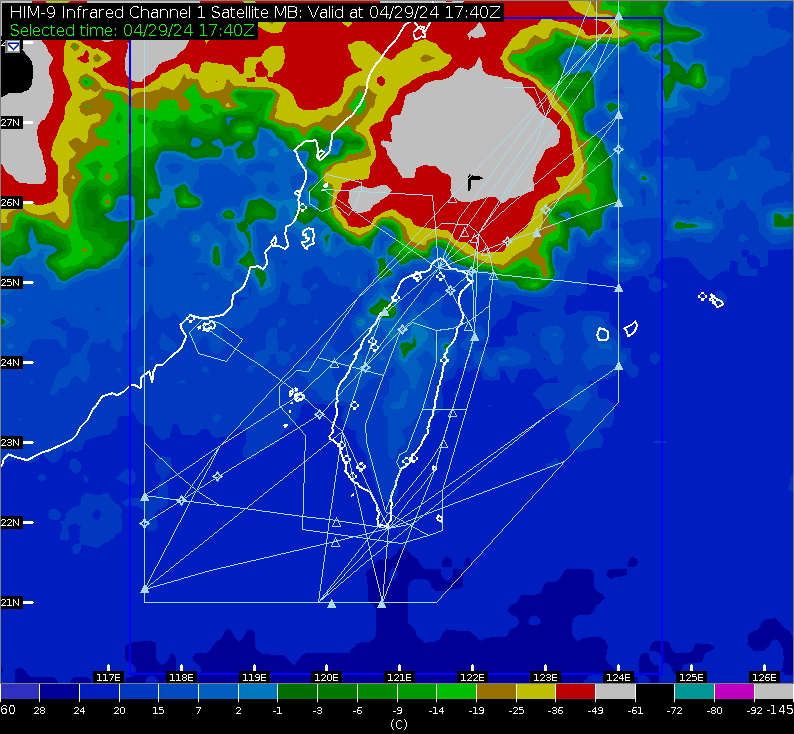
This image is Infrared Satellite Image, and it represents the IR1 channel from the Japanese MTSAT satellite. The units are the so-called "brightness temperature". The lower the brightness temperature, the higher the cloud top.
Since February 2, 2001, You are the 36098771st Visitor Aeronautical Meteorological Service Page